One intelligent workspace for everything happening on the ground.
Built for land, infrastructure and environmental projects. Everything the project knows, in one place, with an assistant that understands all of it.
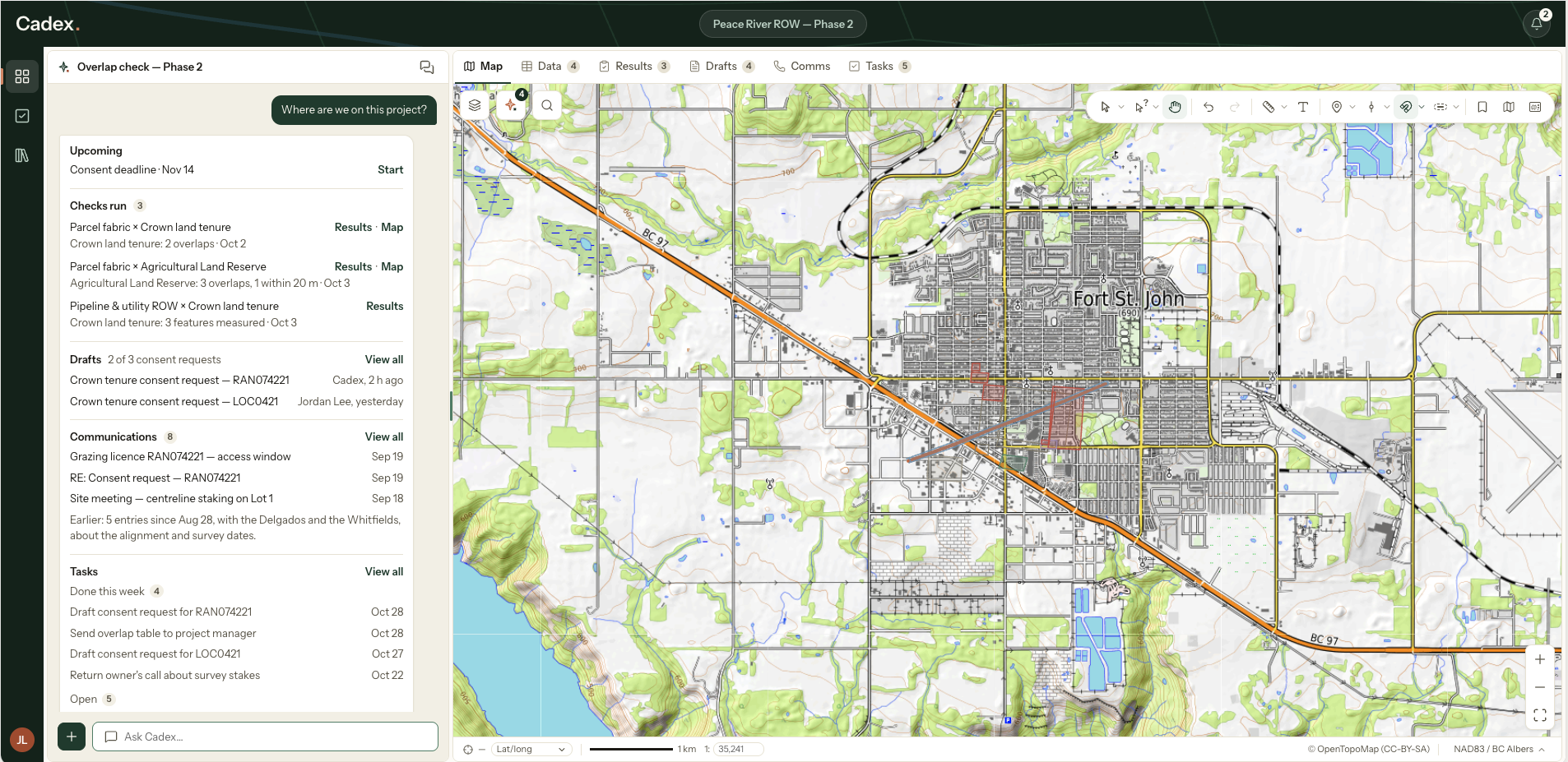
Built for land, infrastructure and environmental projects. Everything the project knows, in one place, with an assistant that understands all of it.
Documents, layers, spreadsheets, web pages and logged calls all build a connected project knowledge base. Everything Cadex produces draws on that context, so the assistant understands the whole project rather than whatever was pasted into a chat.
What's in the project, what was decided, and how your organization words things.
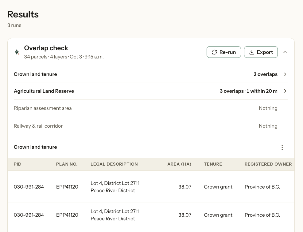
Buffers, overlaps, distances, areas and measurements against your own layers and connected public data. Ask in plain words and the result lands on the map and in a table you can export.
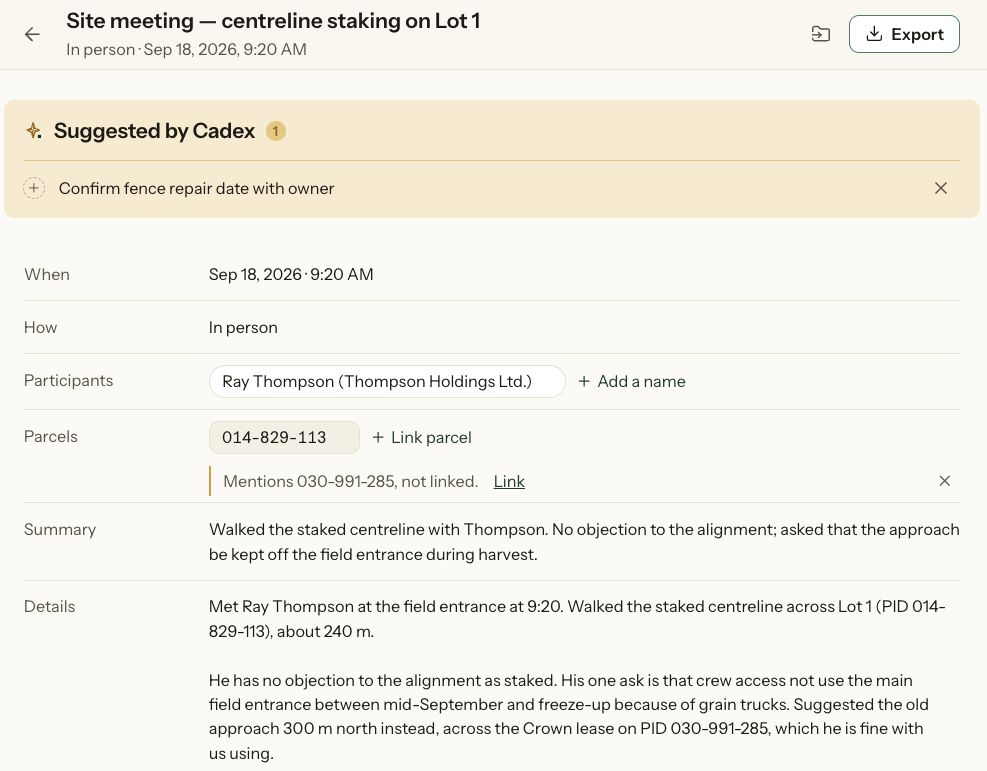
Talk through a call and Cadex writes the entry, files it against the right parcels and people, and keeps the follow-ups with it. You can also type one yourself or drop in an email.
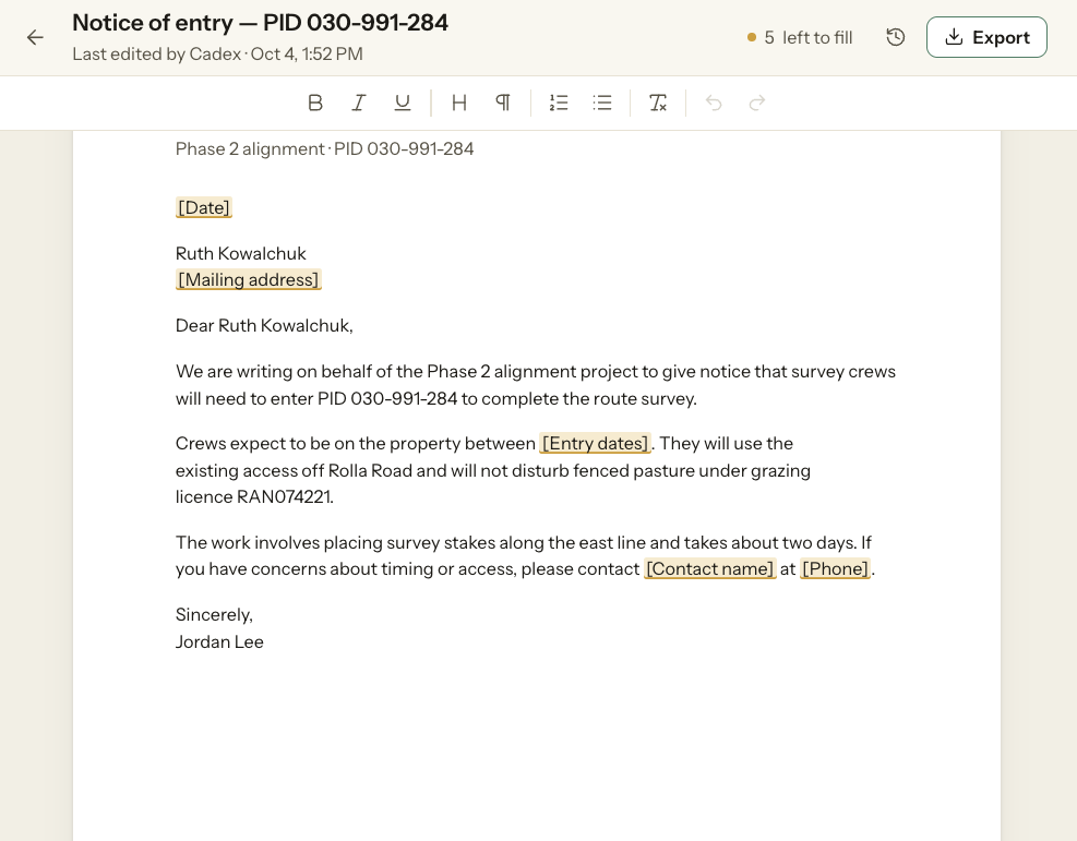
Letters, notices and reports drafted from your own templates, keeping your organization's formatting and wording, with the project's details already in place. Review, edit and export to Word or PDF.
Open your spreadsheets as tables beside the map, and export them where they need to go.
Common jobs set up and waiting, so a check that would take an afternoon runs in one step.
Follow-ups picked up from calls and documents, gathered into one list across projects.
Land and right of wayEnvironmentPermittingRegulatoryPlanning
Bring in a folder, connect your layers, and ask it something you would otherwise spend the afternoon looking for.
Cadex takes on more of the work, across more of the project.
Thanks. We'll let you know.
Questions first? Write to info@vibin.ca
Cadex is opening to a small first group. Leave your email and we will be in touch when your workspace is ready.
We'll only email you about Cadex early access. Privacy policy
We'll be in touch.